


The view from the top is a large photograph, and it’s going to take a little while to load.
Is this taking too long?
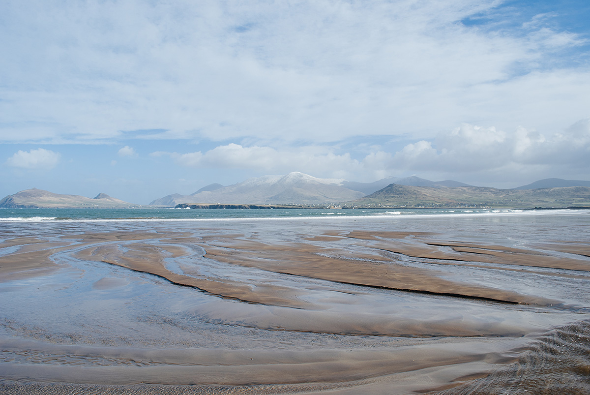
Take me homeThe second-highest peak in Ireland, climbed on a hazy still day. Our view into and out of the Dingle Peninsula. To the west you can see Fermoyle Strand and the Maharees beyond. The Three Sisters look very small from this height.
September 2014
 Sloe Works
Hilltops is a panoramic mapping project created and maintained by Helene Pertl and Pierce Gleeson. It is an expanding range of peaks we've climbed that can be navigated by line of sight. Where visible from the hilltops, we've pinpointed a selection of photographs taken between 2011 and today. The collection mixes both film and digital photographs. You can read more about the project here.
